
278-NASA – Earth at Night
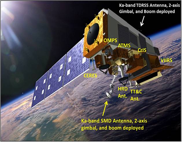
Joint Polar Satellite System: The United States next generation civilian polar-orbiting environmental satellite system.
This view of Earth at night is a cloud-free view from space as acquired by the Suomi National Polar-orbiting Partnership Satellite (Suomi NPP). A joint program by NASA and NOAA, Suomi NPP captured this nighttime image by the satellite’s Visible Infrared Imaging Radiometer Suite (VIIRS). The day-night band on VIIRS detects light in a range of wavelengths from green to near infrared and uses filtering techniques to observe signals such as city lights, gas flares, and wildfires. This new image is a composite of data acquired over nine days in April and thirteen days in October 2012. It took 312 satellite orbits and 2.5 terabytes of data to get a clear shot of every parcel of land surface.
This video uses the Earth at night view created by NASA’s Earth Observatory with data processed by NOAA’s National Geophysical Data Center and combined with a version of the Earth Observatory’s Blue Marble: Next Generation.
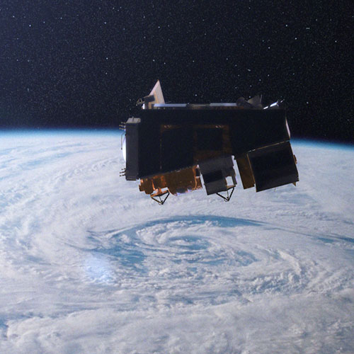
Suomi National Polar-orbiting Partnership – NASA’s Earth Observing System.
https://svs.gsfc.nasa.gov/30028#media_group_346239
This new space-based view of Earth’s city lights is a composite assembled from data acquired by the Suomi National Polar-orbiting Partnership (Suomi NPP) satellite. The data was acquired over nine days in April 2012 and thirteen days in October 2012. It took the satellite 312 orbits and 2.5 terabytes of data to get a clear shot of every parcel of Earth’s land surface and islands. This new data was then mapped over existing MODIS Blue Marble imagery to provide a realistic view of the planet.